01
Upfront investment
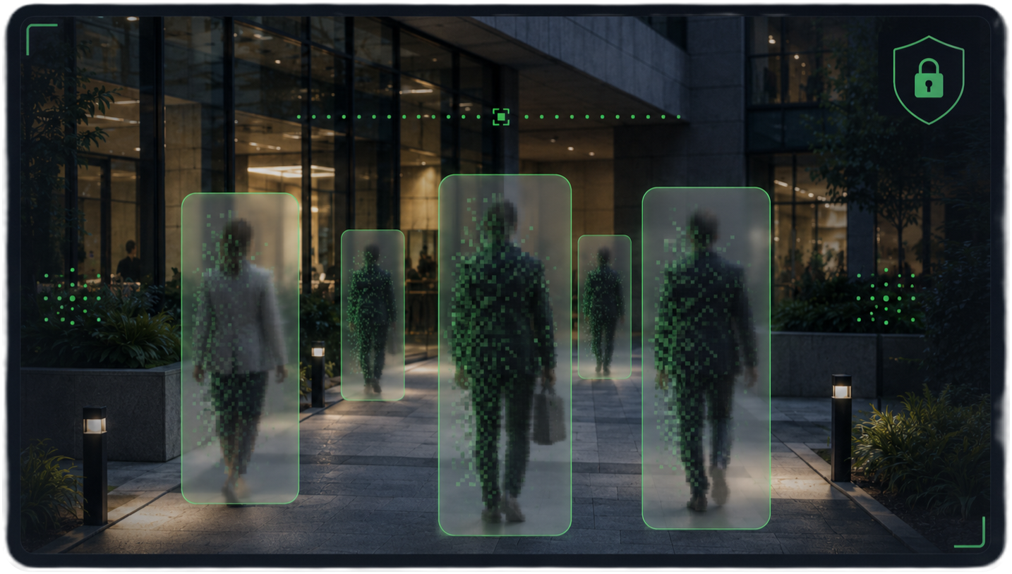
Traditional systems require collecting, preparing, structuring, and integrating large volumes of data before useful answers can be delivered.

Get contextual location intelligence at query time directly from raw evidence—images, video, documents, sensor observations, and other available sources. No costly upfront data integration or conventional map generation is required.
The problem
The industry focuses on building increasingly sophisticated digital representations of the world rather than efficient ways to deliver the contextual location intelligence people and machines actually need. Creating and maintaining these representations requires substantial investment in data, infrastructure, integration, and ongoing updates—leaving many organizations without practical solutions.
Traditional systems require collecting, preparing, structuring, and integrating large volumes of data before useful answers can be delivered.
Digital representations must be continuously updated as the physical world, available evidence, and operational context change.
Traditional systems are built around predefined purposes and assumptions. They struggle to answer questions that were not anticipated at design time.
Value proposition
Get location intelligence where conventional solutions and digital twins are unavailable, impractical, or too expensive to deploy.
Use relevant evidence across independently managed sources without first building costly pipelines around predefined scenarios.
Avoid investing in survey-grade digital twins or HD maps when contextual understanding is sufficient.
Keep source data under the owner’s control and avoid retaining sensitive imagery and other evidence, helping protect third parties captured in that evidence.
First product
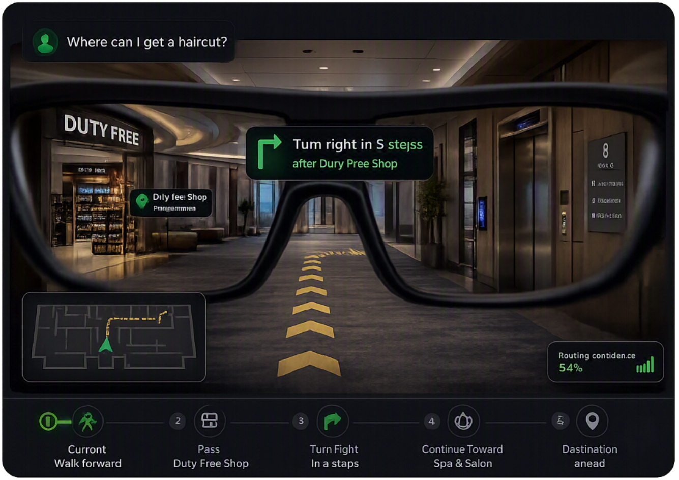
We deliver positioning and navigation for environments where conventional location solutions don’t work. Our technology guides users without purpose-built indoor maps, beacons, or Wi-Fi positioning.
Visual observations captured by mobile devices or smart glasses are all we need to determine where a person is and how to guide them through the space.
Privacy & ownership
The system operates in semantic space and therefore does not need to copy or retain raw images.
This supports privacy for smart-glasses users, third parties appearing in captured evidence, and organizations that need their underlying data to remain under their control.
Demonstrated capabilities
From understanding an ad-hoc image to maintaining a user’s position through a complex indoor journey.
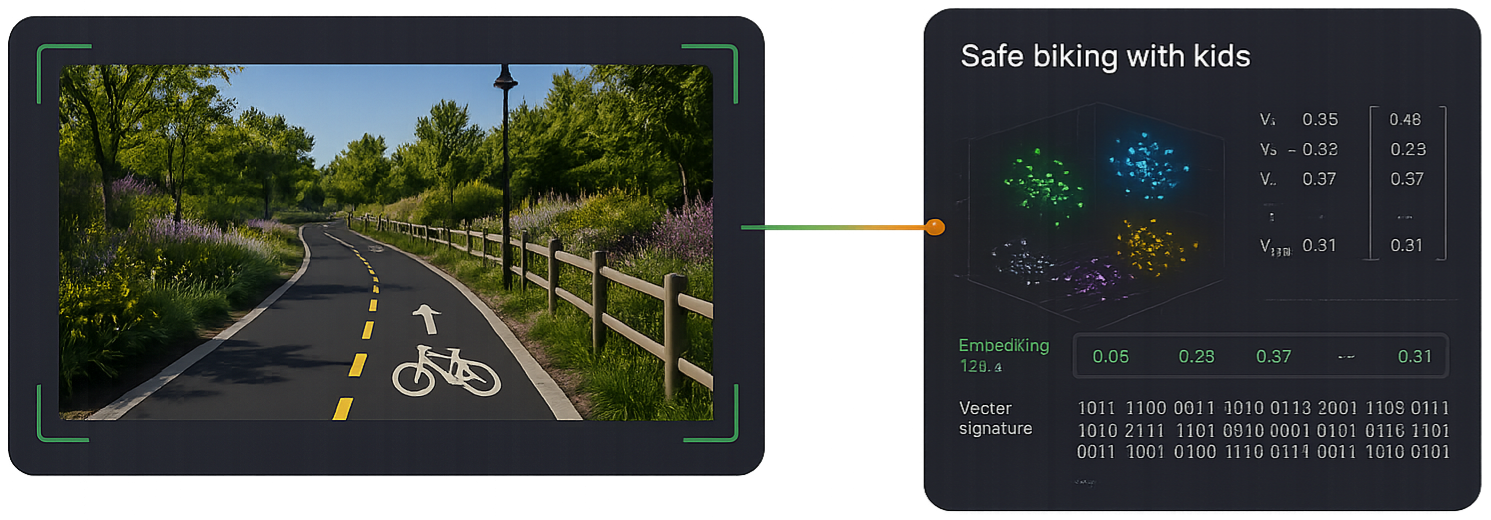
Search context captured in source imagery, not only what predefined taxonomies or conventional geospatial systems were designed to recognize.
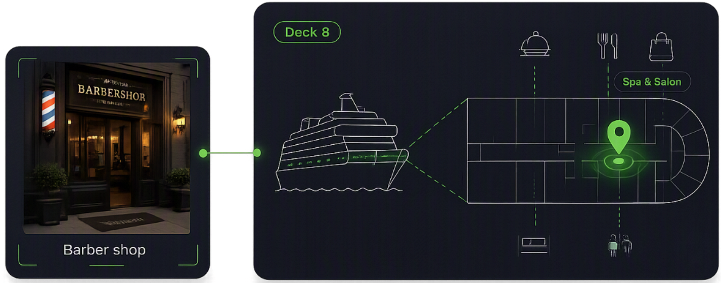
Locate the user without GPS, beacons, or other positioning infrastructure.
How it works
We do not precompute every future answer. We create a compact semantic substrate and reason over it when the question is asked.
Images, video, documents, signals, LiDAR, satellite imagery, and other observations are indexed as compact semantic probes.

The system evaluates the available semantic probes based on the actual query, user, constraints, and situation.

The result can be a position, route, recommendation, risk assessment, inventory answer, or machine action.

Applicable use cases
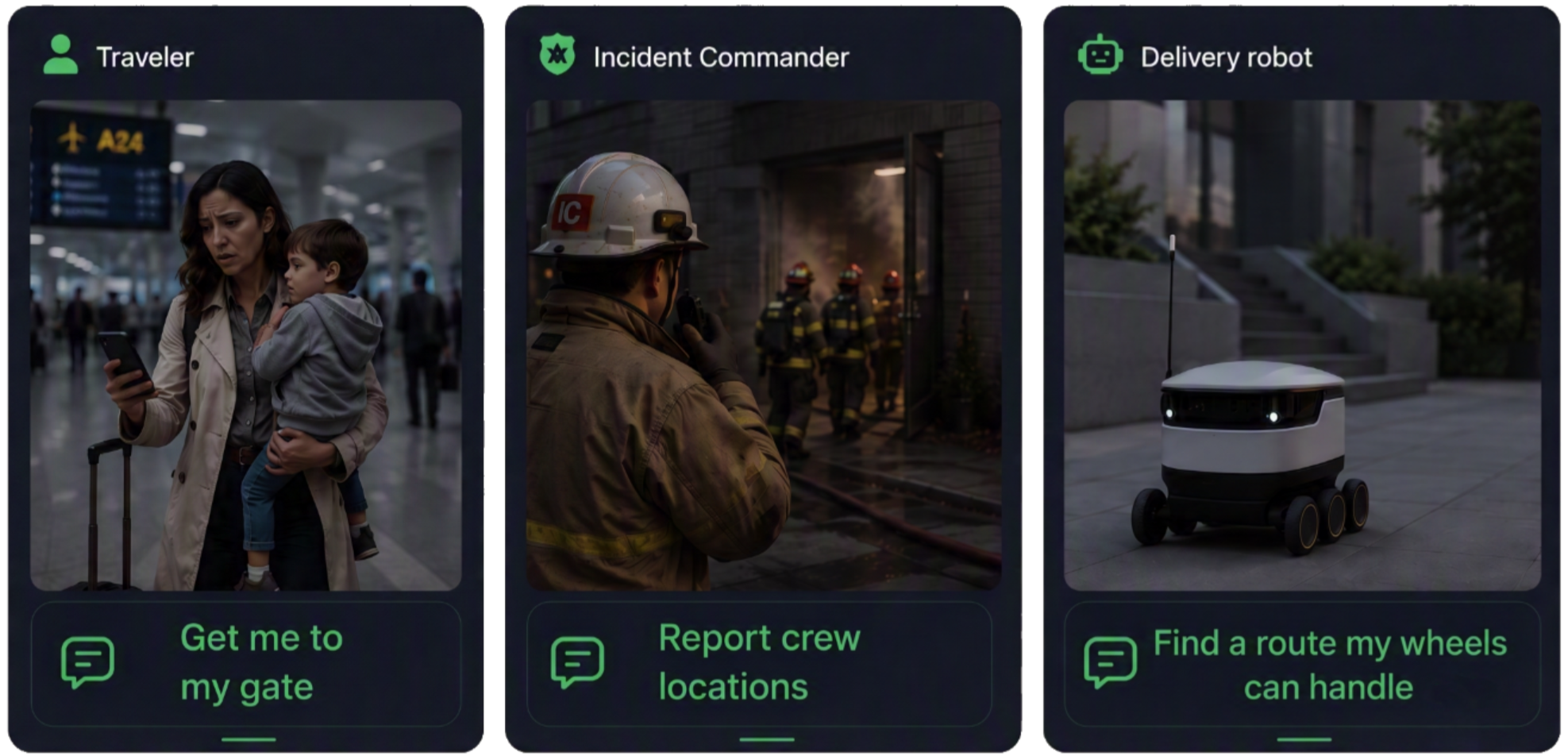
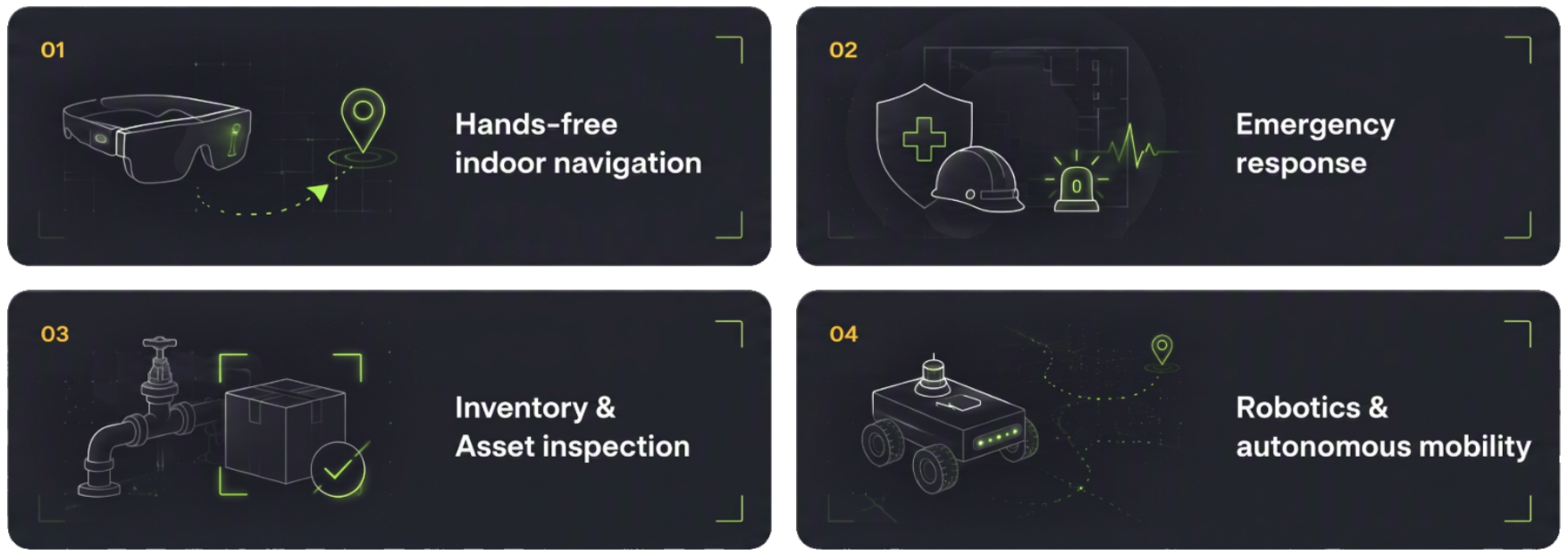
Our technology can empower several scenarios where location intelligence plays a pivotal role, serving both people and robots.
How we differ
Founders
More than four decades of combined experience in geospatial and location technologies. Deep expertise in product judgment, location-industry needs, and building complex technology into usable systems.

Co-founder · Product
Alina has more than 20 years of experience leading geospatial products and spatial-data platforms at Hexagon and TomTom. She has managed products used by more than 2,000 government and enterprise customers and led or advised major data-integration programs for European institutions and national governments.

Co-founder · Technology
Marcin spent 25 years at TomTom building large-scale location and map-production technology used in platforms serving companies including Apple, Uber, and Microsoft. He has led global engineering organizations, driven early AI adoption, and is an inventor on fifteen international location-technology patents.
Alina and Marcin met while studying computer science three decades ago and have been together ever since. They share a passion for software engineering, a vision for the future of location intelligence, and a pragmatic approach to emerging technologies.
Work with us
We collaborate with venue operators, wearable-device companies, robotics teams, and organizations ready to onboard location intelligence.